


Aumont Aubrac - Nasbinal

jib971
User
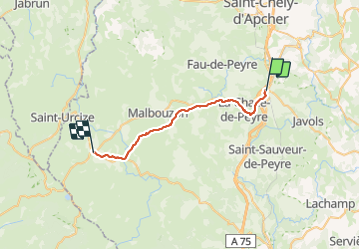

Length
29 km

Max alt
1256 m

Uphill gradient
536 m
Km-Effort
35 km

Min alt
1015 m

Downhill gradient
411 m
Boucle
No
Creation date :
2015-10-10 00:00:00.0
Updated on :
2021-07-25 16:22:28.976
7h17
Difficulty : Easy

FREE GPS app for hiking
 SityTrail
IGN / Geographical institutes
SityTrail Plus
The world is yours!
About
Trail Walking of 29 km to be discovered at Occitania, Lozère, Peyre en Aubrac. This trail is proposed by jib971.
Description
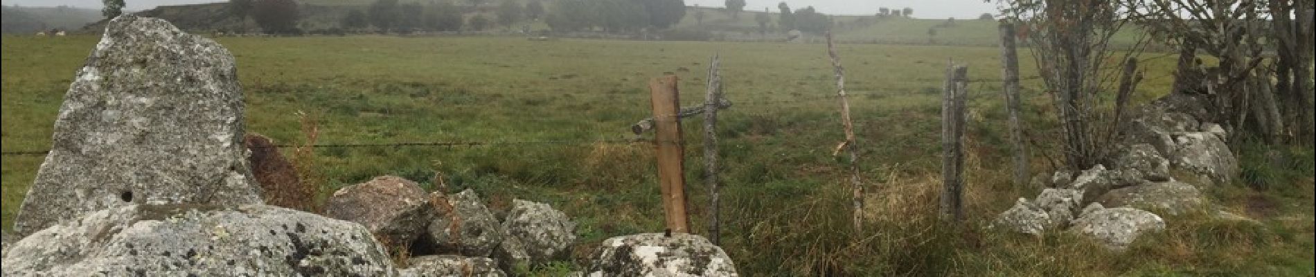
Etape de la pluie
Photos


22 photos in total. Please click on a photo to see them all in the gallery.
Positioning
Country:
France
Region :
Occitania
Department/Province :
Lozère
Municipality :
Peyre en Aubrac
Location:
Aumont-Aubrac
Start:(Dec)
Start:(UTM)
522505 ; 4952164 (31T) N.
Comments